
|
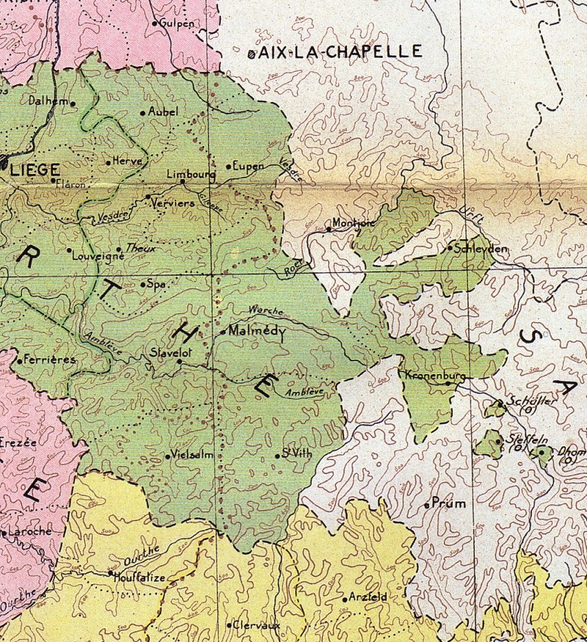
scanned from the map "La Belgique sous la domination française 1795 à
1814", a loose leaf supplement to: "Gemeentekrediet, Het culturele
leven in onze provinciers onder Frans bewind, 1989, Brussel" 152 pp. the map reproduces map 11 of the "Atlas géographique historique de la Belgique", Brussels, 1919-1932 by L. V van der Essen e.a. |
|
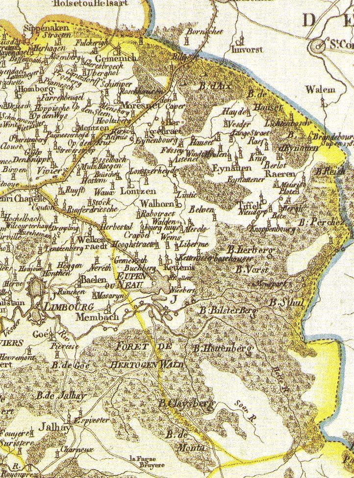
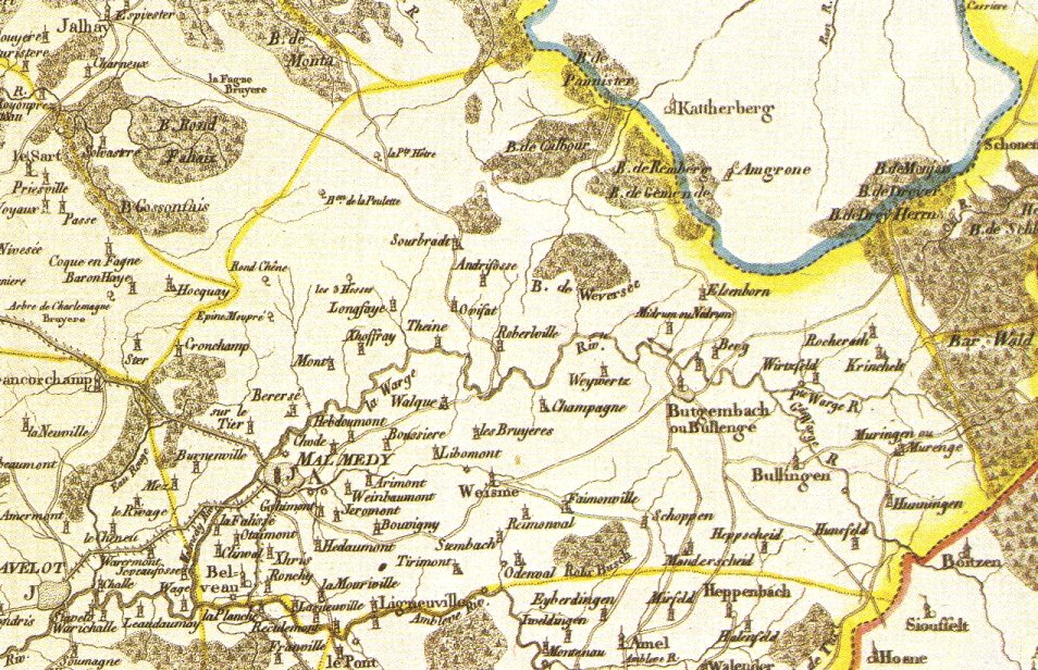
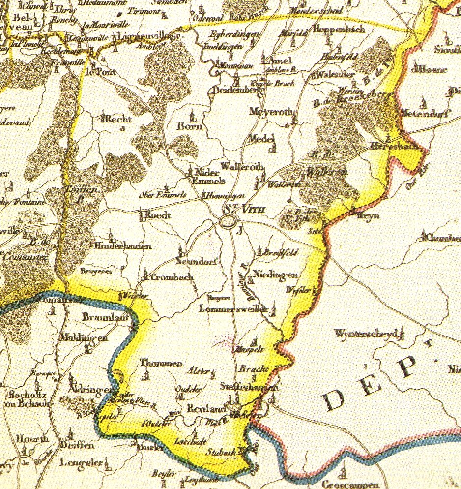
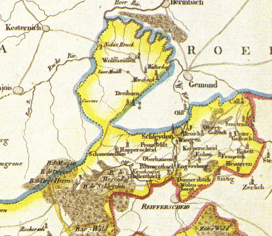
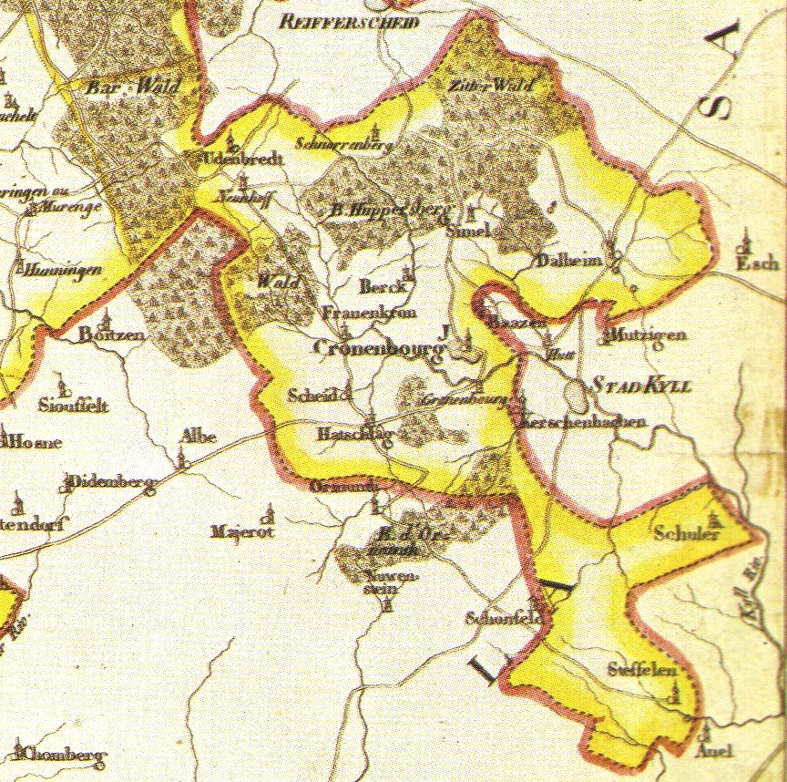
The 5 maps scanned from a reproduction
of the map "Nouvelle Carte du département de l'Ourthe", Ph.J.
Maillart & soeur, an 12 de la République française,
as this reproduction appears on the insert "Evolution territoriale de Liège"
in Crédit Communal de Belgique, "La province hier et aujourd'hui,
Liège", 1976, Brussels, 95 pp + maps. |