Flanders 1302


Map with the subdivisions of the County of Flanders in 1302, with their French names.

flan1.jpg

Comments:
- Flandre Royale (Kroonvlaanderen): part of Flanders, fief of the king of France
- Flandre Impériale (Rijksvlaanderen): part of Flanders belonging to the Germany Empire
- Some sources add also the Northern part of the Land of Dendermonde ("Termonde" on this map), as well as the Land of Waas, incorrectly (?) to "Imperial Flanders". The "Vier Ambachten" ("Quatre Métiers" on the map) and the Land of Aalst (East of the river "Schelde / Escaut") belonged undoubtedly to the Empire.
- The actual French name for Belle is Bailleul

flan1b.jpg
map scanned from p. 109 in:
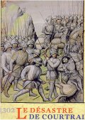
Van Caenegem, 1302, Le désastre de Courtrai, 2002, Anvers, Fonds Mercator, 303 pp., ISBN 90-6153-517-4
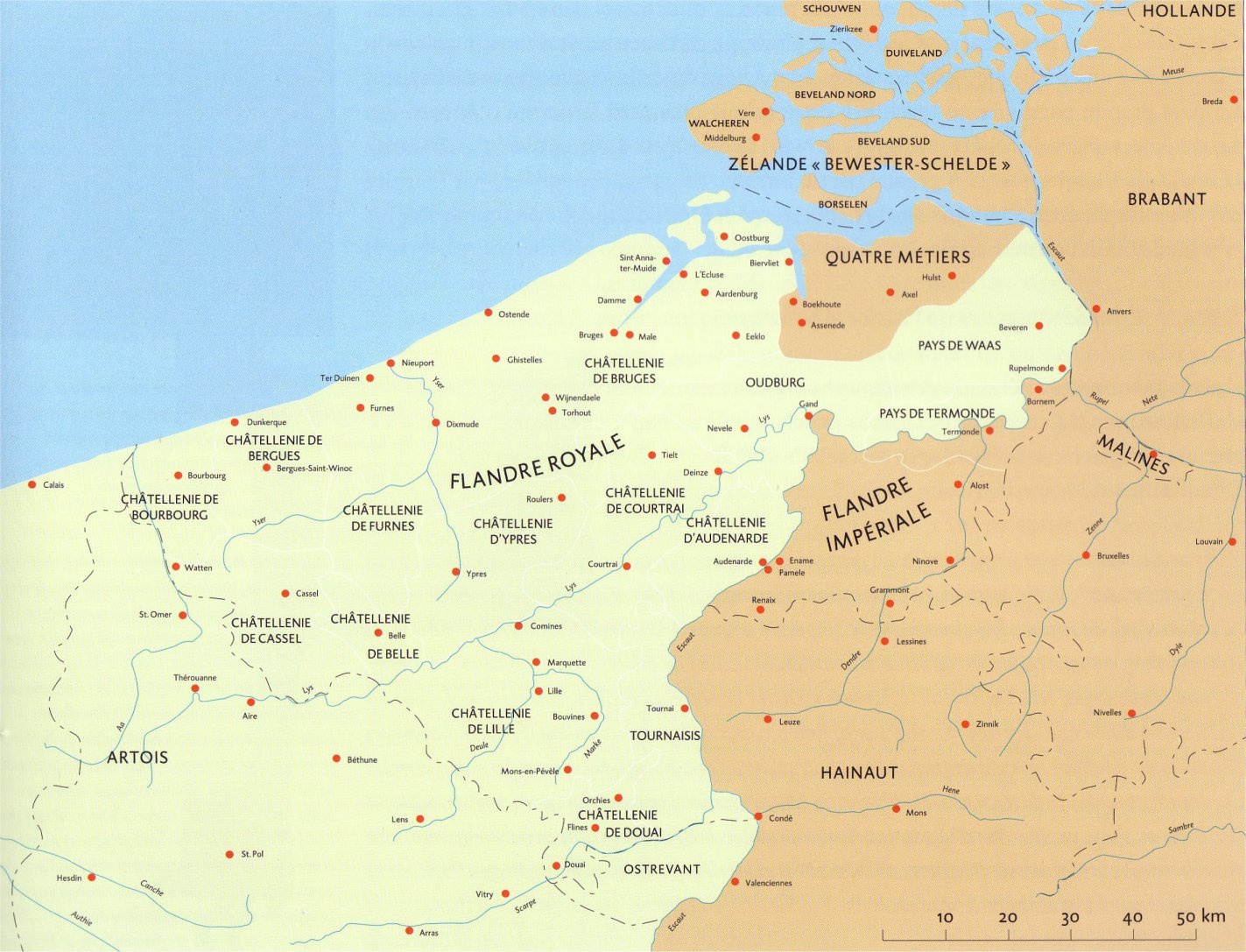
This page is created as illustration for our pages about the history of the territory of Belgium
Created 2003-02-25, relocated to the Combell server on 2020-10-25
Some texts may be affected by copyrights and eventually need to be removed from this server in the future
© Roger Thijs, Euro-Support, Inc.