Map of the German language/dialect areas


The German dialect territories of Belgium

1. Altbelgien
Territories that belonged to the Netherlands from 1815 to 1830 and to Belgium since 1830. 2. Neubelgien (in French: "Cantons de l'Est")
Territories that belonged to Prussia 1815-1919 (The central part of Moresnet was neutral 1815-1919) and to Belgium since 1919
The area was separated from occupied Belgium and annexed by Germany in the period 1940-1944


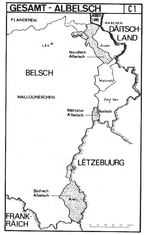
The map is scanned from page 31 in the publication:
"Eis Sprooch iwert all Grenzen",
Eng Broschür vun ARELER LAND A SPROOCH
erausgin zu der Geleënheet vun der INTERNATIONALER MUSELFRANKISCHER WOCH,
Diddebuurg/Thiaumont Heeschert/Heinstert de 5. a 6. Oktober 1979, IX + 89 pp.
The text on the map is in in Luxemburgish.


This page is created as illustration for our pages about languages spoken in Belgium
Some texts or pictures may be affected by copyrights and eventually need to be removed from this server in the future
Updated: 1996-07-09, 2000-12-03, transfer to the Combell server on 2020-10-26
© Roger Thijs, Euro-Support, Inc.